


Wetland Delineation Training
I offer BIOL358:Field Techniques in Wetlands and Wetland Delineation Certification Training through the Au Sable Institute.
This course is pre-approved by the SWSPCP continuing education program
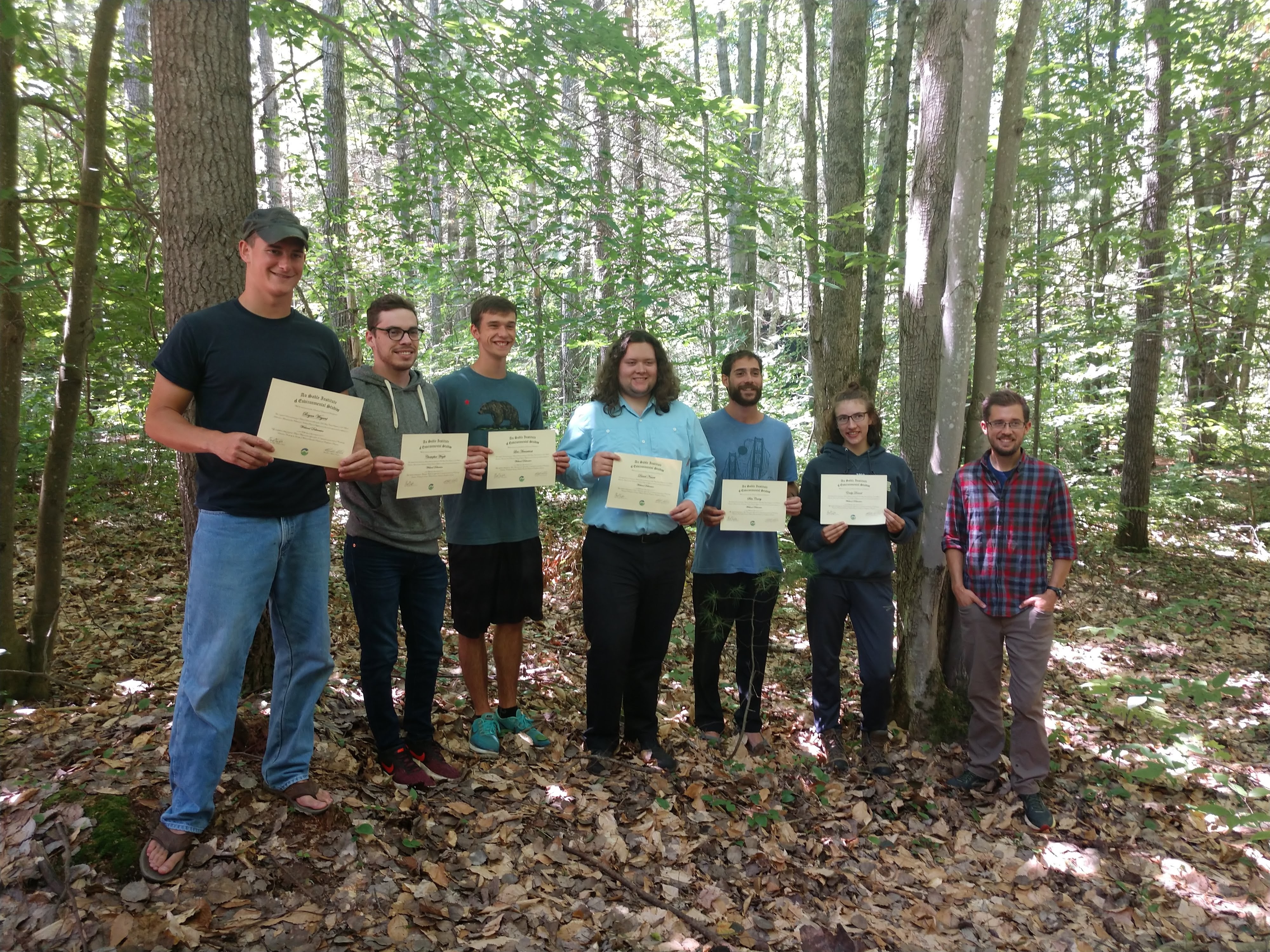
Wetlands Alumni

Technical Examples
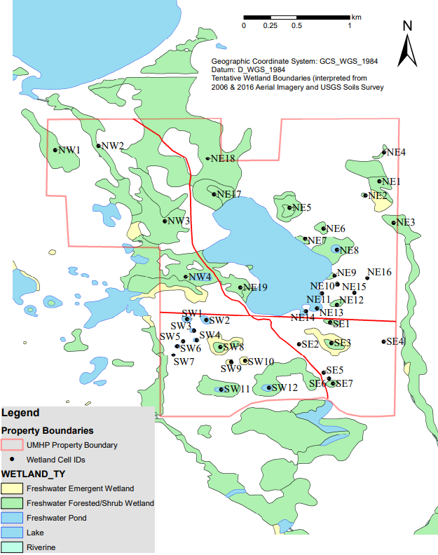
Grand Traverse Regional Land Conservancy – UMHP Wetland Resources assessment/mapping
University of Akron – Tamarack Bog GIS development

The restoration site was overwhelmingly dominated by Phalaris arundinacea and managers requested field samples to assess soil conditions and for me to recommend restoration targets. The site has since been treated with a combination of prescribed fire and herbicide.
Bath Parks Management – Moore’s Chapel Soil Samples
The soil survey indicates the entire area is Carlisle Muck.

Diagnostic characteristics from Carlisle series official description : “Muck (sapric material): from the surface to a depth of 152 cm (60 inches) (Oa1, Oa2, Oa3 and Oa4 horizons)”
We collected 4 cores (to 4ft) (approximate locations in bottom right corner).
- Our samples suggest that this is likely Carlisle muck that has been modified (largely by tillage and overwash) from the initial soil survey (1927).
- We found extensive mixture of mineral soil (clay/silt) with muck in the upper soil strata, a characteristic common in Carlisle muck and Carlisle silty muck that have experienced extensive tillage. (Soil Survey of Indiana, 1927). Overwash of mineral material and field grading probably contributed to the observed mineral/muck mix in the upper 3ft, with pockets of undisturbed mucky-peatàpeat below 3ft.
- It appears peat is more prevalent in the upper soil strata (4ft) just south of the fence-line dividing the restoration area with clayey-muckàmuckàmucky-peat occurring below a 1-2ft mixed horizon north of the fence-line.
- Mineral component (matrix) colors are lighter than would be expected for Carlisle muck or Lorain silt loam (occurring along the western edge of the site), and seem to be more characteristic of the Holly Series (found south of the site).
- pH was neutral to slightly acidic (6.7-7) in the mineral-muck mix (upper horizons) with the exception of site 3 (details below), and peat samples were mildly acidic (6.2-6.4)
Response to whether this could be restored to a bog or fen:
“The site likely had bog-like qualities in the past (e.g. the patches of intact peat). We have only measured one of the two factors that generally distinguishes bogs from fens (pH), and there are examples of both types with a pH near 6.5. It would help to know the contribution of mineral-rich groundwater to the hydrology of the site (usually by measuring the concentration of calcium in the pore water) to make that sort of determination.
It is probably not realistic to try to establish an exclusively bog or fen community (It’s too close to Bath Creek not to receive alluvial deposits and nutrients), but you could target some of these peat inclusions with fen/bog plants.
In my professional opinion the majority of the site will equilibrate to a mineral and nutrient-rich alluvial floodplain and with work you may be able to maintain a few pockets dominated by acid-tolerant species provided they are in depressions that are further away from the creek or the East-west channel).”
Sample Notes :
1.
● A Horizon : 0-36” clay matrix 5YR 5/1, 2% redoximorphic features (oxidized rooting zones) 5YR 5/4, 2% light gleyed mottles 5YR 7/1. Ice crystals within matrix to 6”.
● 36” coarse woody material (clay matrix 5YR 5/1)
● auger came up clean below 3ft (Possibly too loose to remove, or spongy material was compressed from initial bore)(Possibly peat)
● No peat observed
2.
● 0-24” Clay 10YR 4/1
● 24-36” greasy texture (sapric muck)
● 36-48” muckàmucky peat 10YR 3/1
3.
● 0-24” clay, matrix 10YR 6/1, 25% redoximorphic features 7.5YR 5/6 pH = 6.2
● 25” no more redoximorphic features, matrix 10YR 5/1
● 36-48” Peat, pH=6.4 10R 4/2, friable
4.
● 0-12” Clay 10YR 5/1
● 12-48” Peat 10R 4/1

